On July 04th 2015 once again I visited Mono Hot Springs for my annual nature talk and rekindle old friendships from the last three decades. While sharing my adventures of the surrounding wilderness with everyone, it sparked my curiosity to visit one historical site which I haven’t seen for over five years.
Bright and early the following morning I set out for the three hour cross-country hike to Devils Table. Over the past 30 years I’ve been looking for the table’s easy route of bush-waking, climbing and boulder scrambling. Today I decided to skirt the northern high ridge, which looks down on Tule Lake.
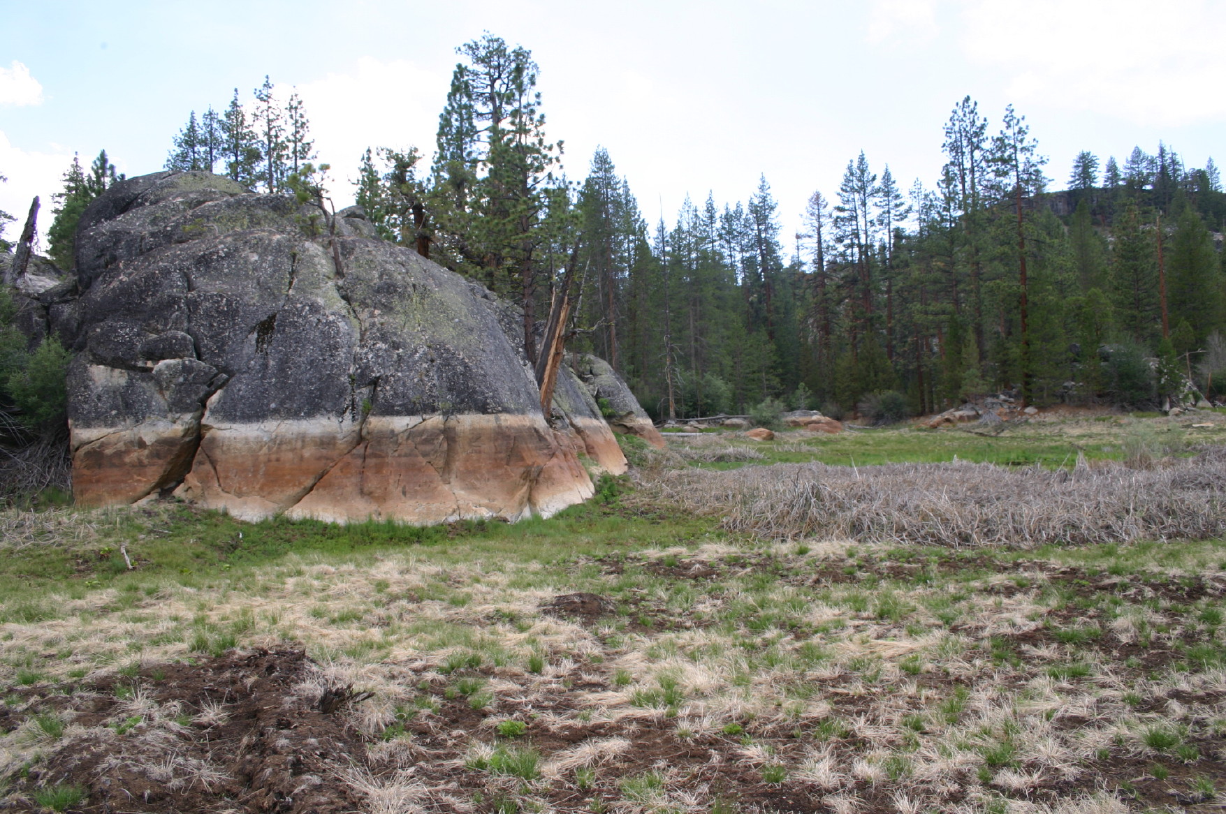
I started by following the trail toward Doris Lake to the first junction. Now I’ll change directions and follow the junction trail that reads; Tule Lake. After hiking another fifteen minutes and descending from the trail high point, on its right is a seasonal pond and on the left is a small canyon. At this point I’ll depart from the trail and ventured into the small canyon, climbing to the ridge on the right. This path-way will lead to another small canyon and finally the high ridge located on the left that will skirt west leading to Devils Table.
Keeping the dry ponds below me on my left, I maneuvered through the many small canyons. By hiking this route (west) Devils Table will be in view 70% of the time. On the tables east side are the only two pathways to the top. I scrambled up the loose shale and hoisted myself to the flat table top.
Mentally I could feel the excitement generating inside me as I entered this forgotten world. The first view of this hidden world reminded me of a movie I watched as a child; Lost World! Once the actors entered this remote mountain table top, hidden within this jungle is a forgotten prehistoric wilderness. I know I’m exaggerating this moment but the feeling of time as we know it today doesn’t exist.
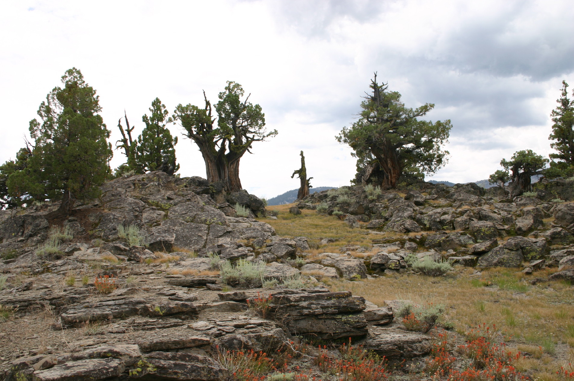
This irregular surface is covered with small and large flat pieces of shale. A few ancient Western Juniper and Jeffrey Pine grace its surface. Also sharing this flat surface are native wild flowers, Red Indian paint brushes, purple lupine, and pink and white pussy paws just to mention a few species.
Visually the table is a long finger shaped formation which runs north and south and at its steepest point is over 60 feet high. Those ancient Pine and Cedar Trees growing from its base that extends above the tables surface, offer a bird’s eye view of their tallest branches.
From the southern tip are distant views of Mount Hooper and counseled within the mountain range to its right is Chamberlin Lake, noted for its large Golden Trout. Directly below me is the long canyon that has been cut over time by the San Joaquin River flowing to the west. Facing west are the distant views of the jagged Minaret Mountain Range. Now to walk to the table’s northern tip and preview the distant views of Devils Bathtub and Edison Lake. Finally peering out to the east through those tall pine trees that extend above the tables surface is the 9,200 feet of Mary’s Mountain. To its right is Bear Dome and Florence Lake to complete the 360 degree views from this ancient land mark.
On my return I hiked directly east through the dry ponds. Sad to say this route is much easier since were experiencing a four year drought. Under normal conditions this area would be impassable because of the depth of these wilderness ponds. Today I experienced walking on the ponds grassy bottom and hopefully next year, a higher route will be necessary.
This hike will be a challenge for the novice hiker, but find someone with knowledge of this area and experience first-hand this special place preserved by nature and time.
Adventurer,
Tony Krizan
Leave a Reply
You must be logged in to post a comment.